5 min read

The Map That Sent Everyone in Circles
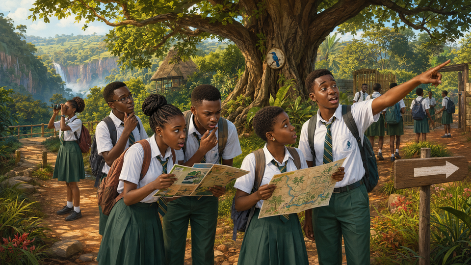
A complete teacher guide for delivering the five-mission Senior Two assignment, with curriculum alignment, grammar guidance, model responses, assessment criteria, differentiation and safety advice.
The Map That Sent Everyone in Circles

Senior Two English · Tourism, Maps and Giving Directions
Language in action: Imperative verbs, prepositions, question forms, relative clauses and sequencing language
Skills developed: Reading, map interpretation, speaking, listening, writing and problem-solving

Before you read

Imagine that your whole team will receive the same mark for a navigation challenge.

  • Would you follow the quickest speaker or check the evidence first?
  • What should a team do when its members disagree and time is running out?
  • Is asking for help a failure, or can refusing help be the greater mistake?

Do not choose a route yet. Team Blue Bird is already moving.


The field test

My name is Nambi, and I knew we were in trouble when Tendo said, “Trust me.”

At 9:45 on Thursday morning, our Senior Two class stood outside the Visitor Centre at the fictional Katojo Hills Nature Centre. Ms Kansiime held up four coloured envelopes.

“Today is the practical test for our tourism unit,” she announced. “Each team must reach Mirror Falls, collect a code word from the ranger and return to the school bus by 11:30 a.m. Your route card, map and spoken directions are worth 20 group points. Any team scoring below ten will repeat the test on Friday.”

The class became very quiet.

“The bus leaves for school at twelve,” she added. “You will remain on marked public trails. Every team has an emergency whistle, and teachers are stationed at checkpoints. Getting lost is not a strategy.”

The four teams received different trail symbols. We were Team Blue Bird: Tendo, Asha, Kato and me.

I opened our envelope and unfolded the single card inside. The written directions were printed on the front, with the sketch map and key directly below them. We did not have two separate sheets to lose—which, considering our team, was excellent planning.

The official route-and-map card from our envelope

Source A: Written directions

VISITOR CENTRE TO MIRROR FALLS

Distance: 1.2 kilometres each way
Walking time: About 35 minutes each way
Trail marker: Blue bird symbol

  1. Leave the Visitor Centre through the east gate.
  2. Walk straight for 300 metres until you reach the giant fig tree.
  3. Turn left at the fig tree and continue towards the wooden bridge.
  4. Cross the bridge. Immediately after it, take the path on your right.
  5. Walk uphill past the rock shelter, which is marked with a blue bird.
  6. Mirror Falls is beyond the shelter and below the viewing platform.

Warning: The path beside the herb garden leads to the service gate. It does not join the waterfall trail.

Source B: Sketch map and key on the same card

Katojo Hills Nature Centre official visitor trail sketch map

I wanted two minutes to study everything. Tendo wanted two seconds.

He lifted his phone. “My cousin came here last term. He sent me the easy route.”

Leave through any gate and turn right at the big tree. Do not cross the bridge. Follow the herb garden path until you see a rock. The falls are behind it. It is only about 600 metres, so nobody needs water.

Three walking-boot emojis followed. The emojis were accurate. Nothing else had been tested.

The first wrong turn

“The official card says east gate,” I said.

“The competition is about speed,” Tendo replied. “The south gate is closer.”

Kato looked at the other teams leaving. “Crested Crane is already ahead.”

That decided it. We followed Tendo through the south gate.

For three minutes, the path seemed friendly. Then it curved past the herb garden and ended at a locked metal gate marked SERVICE ENTRANCE.

Nobody spoke.

Asha pointed at the warning on our route card. “It told us exactly where this path goes.”

Tendo folded his arms. “The gate might open.”

“And the waterfall might come to collect us,” I said.

My joke did not improve the meeting.

We had already lost seven minutes. Team Leopard passed behind us on the correct trail. Kato blamed Tendo. Tendo blamed the gate. Asha blamed all of us for voting without reading.

I looked at my watch: 10:07.

“We can spend the next ten minutes choosing a guilty person,” I said, “or we can find the route.”

The map becomes useful

We returned to the Visitor Centre and began again through the east gate. At the giant fig tree, Tendo automatically turned right.

I stopped him.

“The tree is east of the Visitor Centre,” I said, holding the sketch map so that north pointed away from me. “The bridge is east of the tree, but the trail first bends left towards it. The message has mixed up the direction.”

This time, nobody said trust me. We checked.

We found the wooden bridge, crossed it and took the path on the right. A faded sign pointed left, but the blue-bird marker was fixed to a rock shelter uphill on our right.

“Sign or symbol?” Kato asked.

“Symbol,” Asha and I answered together.

At 10:54, we reached Mirror Falls. The ranger gave us the code word: KINGFISHER.

Then she looked at her watch. “Thirty-six minutes to your deadline.”

The cheering stopped.

The race back

We had walked the outward route once, but returning made every instruction feel reversed. The bridge that had been ahead was now below us. The right-hand path became a left turn. Clouds covered the sun, so Tendo could no longer use it to point confidently in several directions.

At the rock shelter, we met Team Crested Crane. Their members were arguing beside the faded sign.

“The arrow says left,” one of them told us.

“The map says the bridge is south-west of here,” Asha replied. “The sign may have turned.”

For a moment, I wanted to keep quiet. They were our competition. Helping them could cost us first place.

Then I remembered that the challenge was supposed to test whether we could guide visitors safely.

“Follow the blue-bird markers downhill,” I said. “The bridge comes before the fig tree.”

Both teams moved.

At the bridge, Crested Crane ran ahead. Tendo tried to follow.

“No,” Kato said. “If we rush without checking, we will perform the first mistake twice.”

We crossed, found the fig tree and turned west towards the east gate. The Visitor Centre roof appeared between the branches.

My watch showed 11:28 when all four of us touched the school bus.

Ms Kansiime inspected our route card and map.

“You lost two accuracy points at the beginning,” she said. “But you corrected the route using evidence, gave another team safe directions and returned before the deadline. Eighteen out of twenty.

Crested Crane had returned two minutes earlier, but their incomplete map cost them four points. Team Blue Bird won by one.

Tendo looked at the forwarded message on his phone.

“I am deleting this,” he said.

“Keep it,” Asha replied. “It may appear in your nightmares before the next test.”